LASER SCANNING
Faster, better, cheaper than classical surveying
LASER SCANNIG, 3D MODELING, SURVEYING
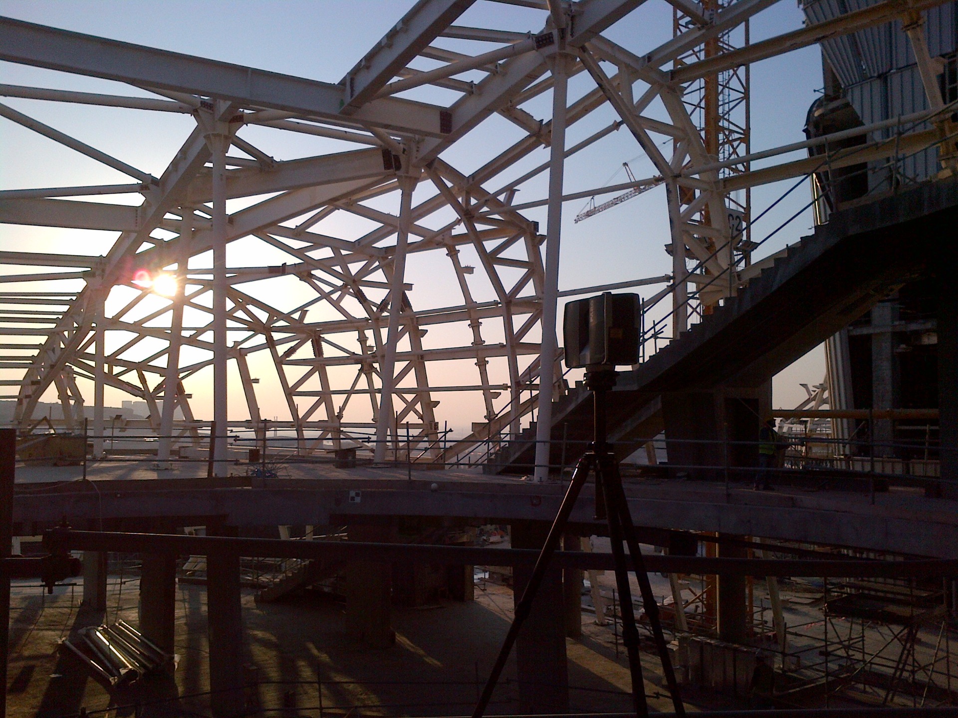
Reverse engineering
Fastest way from existing object to it's detailed plans or 3D models. Reliable documentatin in 2D or 3D, or BIM models for reconstruction planning.
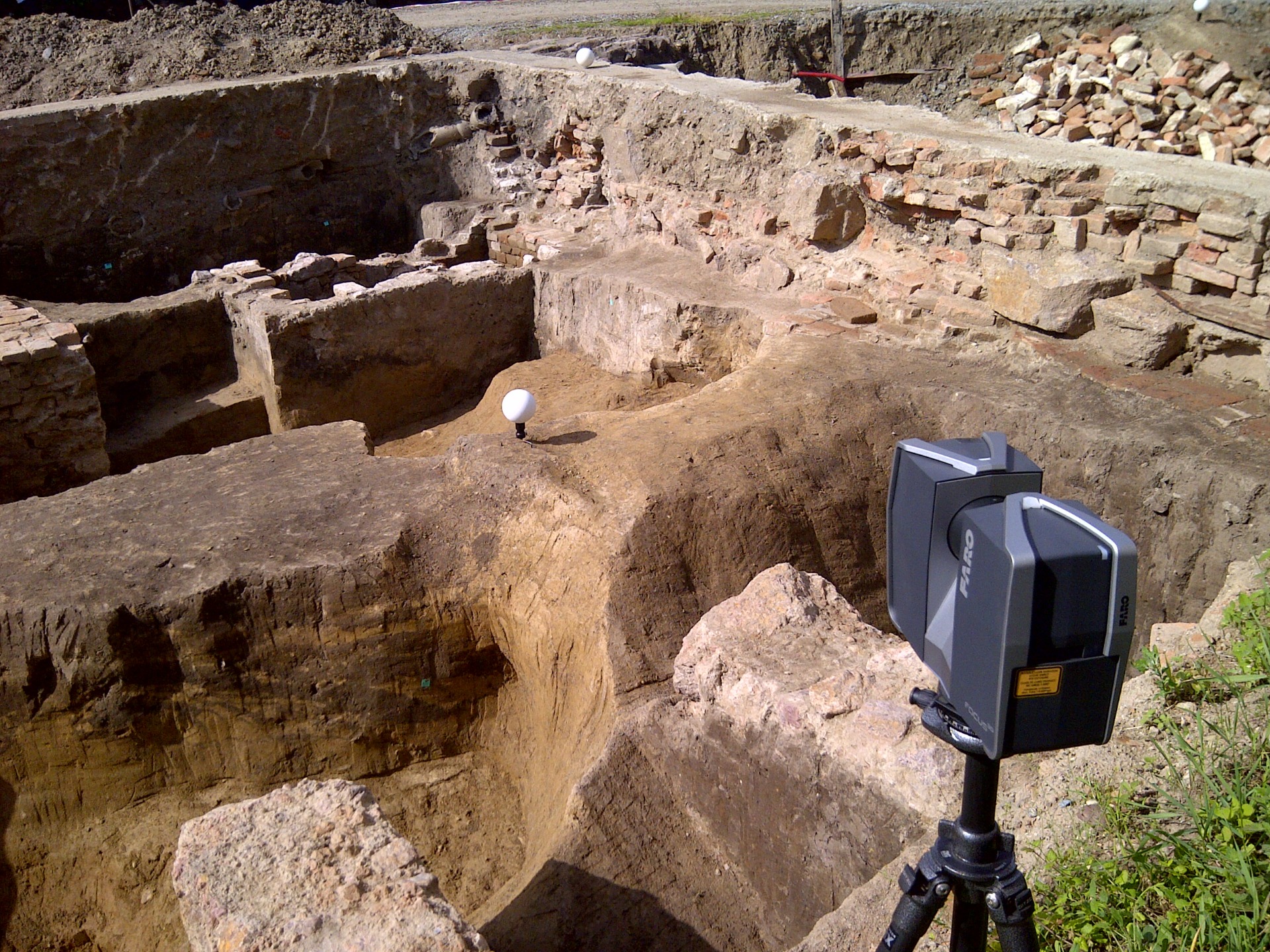
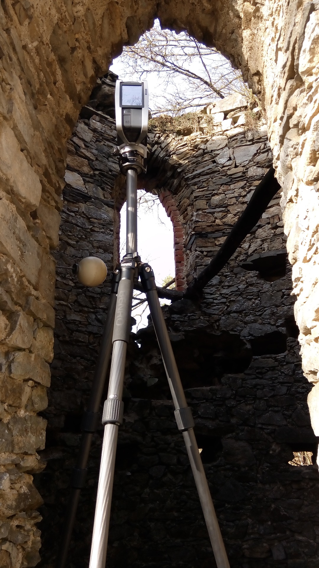
Historical monuments documentation
Faster, more accurate and cheaper way of historical monuments and excavations.
SURVEYING
Classical geodetic survey in cases when laser scanning is not effective.
Realistic models of daily use objects
Realistic 3D models of industrial parts, daily use objects, for documentation or duplication purposes.
Digital terrain models
High resolution digital terrain models with centimeter accuracy.
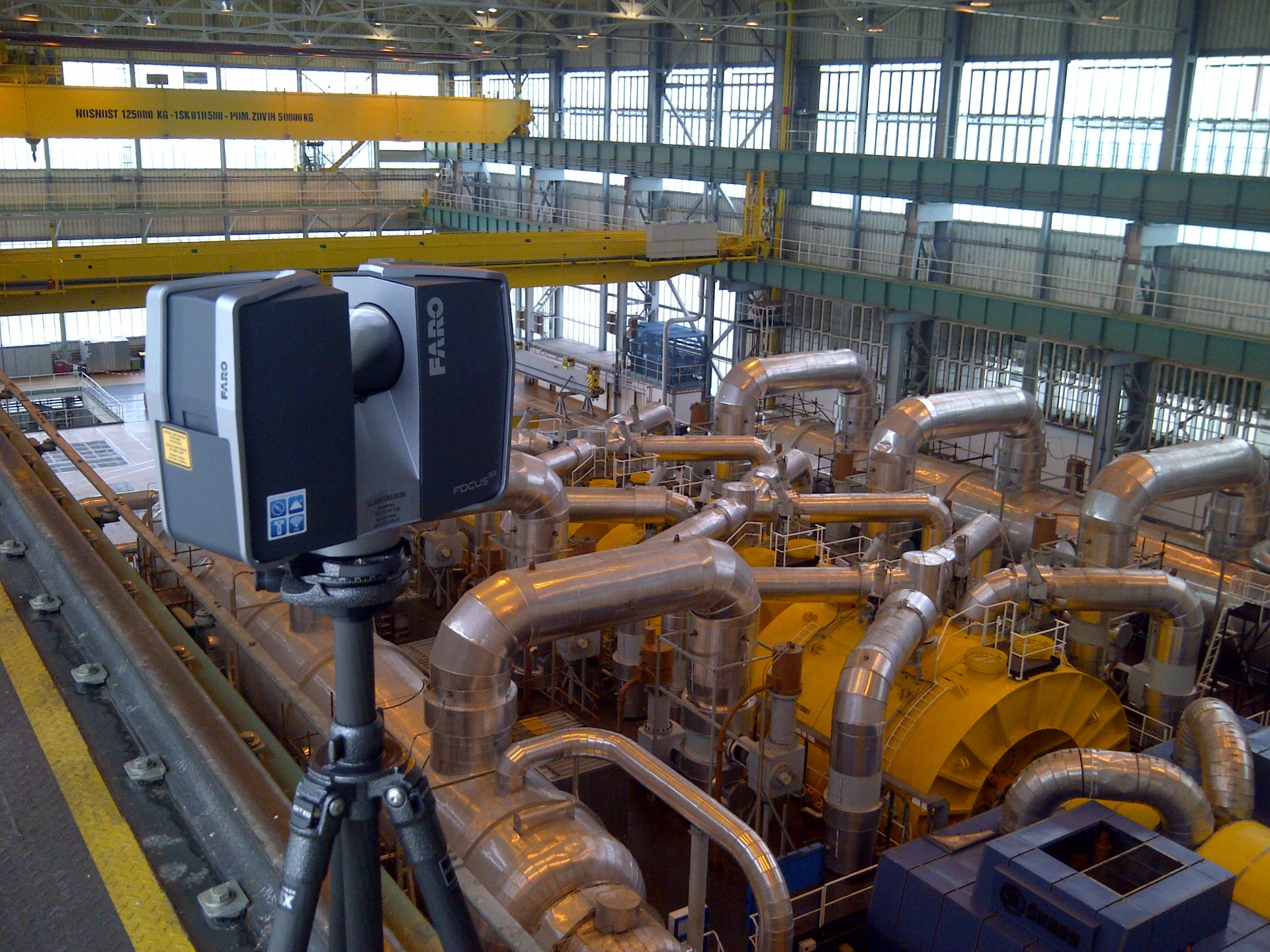
3D models of industrial plants
3D point-cloud-models or 3D CAD models of industrial plants, piping systems, boiler rooms.
PORTFOLIO
Get inspired with some of my projects.